
Serving West Texas & New Mexico


Explore our services and get in touch
Our Services
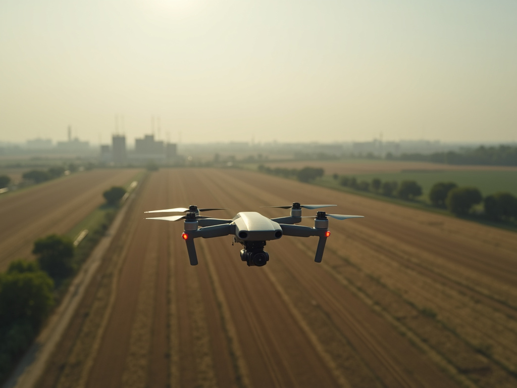 01.
Aerial Photography & Video
This service offers high-resolution aerial photography and video tailored for commercial, agricultural, industrial, and investigative purposes. It captures detailed images and footage to support documentation, inspections, and evidence collection. Clients can leverage clear visuals for analysis, reporting, or legal evidence. The service includes professional editing and delivery to meet industry standards.
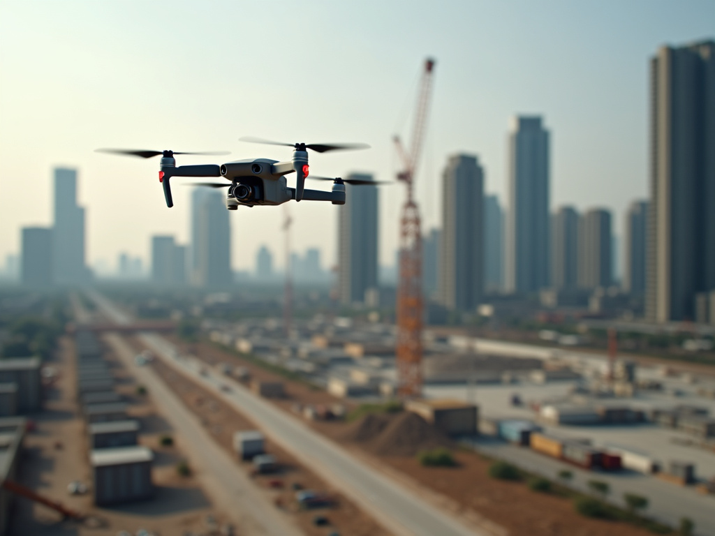 02.
3D Mapping & Modeling
This service provides comprehensive 3D modeling and mapping using drone-captured data, ideal for construction progress, land surveying, and infrastructure monitoring. It includes the creation of accurate digital terrains, models, and volumetric calculations to assist in planning and analysis. Clients benefit from precise, organized visual data for decision-making and reporting.